
Unmanned Aerial Systems (UAS – drones in common parlance) carrying new smaller, cheaper sensors have the potential to revolutionize remote sensing in natural resources. The marginal cost of flying a UAS is a fraction of the cost of current industry-standard satellite or aircraft systems. Since these systems fly at relatively low altitudes – less than 150 meters – the spatial resolution of the data collected with a UAS is much higher, on the order of a few square centimeters per pixel. The high resolution of the data will make possible entirely new approaches to the analysis of remotely sensed vegetation data and allow us to measure vegetation attributes and features that cannot be detected with lower resolution data. When coupled with the temporal flexibility to deploy rapidly and frequently in response to environmental change, UAS systems are a “game changer” in environmental measurement and monitoring.
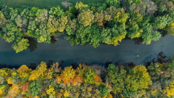
Recent advances in Light Detection and Ranging (Lidar) technology have made available inexpensive sensors that are small and economical enough to mount on low-cost UAS platforms. Lidar data can be used for obtaining a host of land surface parameters including micro-topographic relief (~4 to 6-inch contour interval) and vegetation canopy characteristics such as biomass, volume, tree height, basal area, and forest structure. Implications in the realm of land management are large. For example, prescribed fire use is becoming more common in Pennsylvania, and monitoring needs are increasingly rapidly. The combination of imagery and Lidar can be used to characterize burn spread rates, severity, and effectiveness, as well as canopy condition and vegetation recovery rates. UAS systems can also be used to assess changes in productivity or surface moisture, aiding in assessment and validation of climate change trajectories and patterns.
The IEE Seed Grant Program provides early development funds that specifically meet our needs for building and testing a low cost UAS Lidar/multispectral mapping unit and proving its capability for land surface process studies. We will employ the proposed UAS system across Penn State forests and local PA landscapes as a crucial first step in demonstrating the capability of the instrumentation, providing initial pilot data to enhance application of novel environmental technologies, and opening a pathway to integrating this technology in a host of research applications across the University.
Researchers


Robert Brooks